Explore the world in your classroom with these colourful maps and posters.
An Irish map showing the 44 countries make up Europe, Germany, France, and the United Kingdom. Each different country stands proud on the map, from Nice to Monaco, just take a step back. You'll find cities and seas, and islands too, lots of land on the farms, for you to travel through! This politica..
€9.95
Ex Tax:€8.09
Brand: An Gum
Double-sided wall map of Ireland, one side with physical features and the other with counties, towns and islands. Has a string at the top, so it can be hung from a hook and turned around as required...
€11.99
Ex Tax:€9.75
Brand: Paper Pick
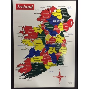
Colouful Poster Map Of Ireland - ideal for the classroom
English
32 Counties
70cm X 50cm
Shop online today at Art By The Lee for a wide range of educational posters and maps.This map is not to scale and is for early years geography education...
€9.50
Ex Tax:€7.72
Brand: Paper Pick
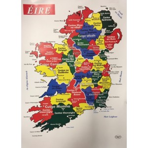
Poster Map of Ireland in Irish
Irish Language Poster
32 Counties
70cm X 50cm
This map is not to scale and is for early years geography education.
Order you Irish Language classroom posters today at the Learning Store...
€9.50
Ex Tax:€7.72
Brand: BigJigs
Educational and absorbing in equal measure! This beautifully illustrated wooden puzzle is sure to fascinate inquisitive children as they explore the countries and continents of the world, and discover famous landmarks. Colour coded pieces ensure young minds stay fully engaged as they piece together ..
€17.95
Ex Tax:€14.59
Showing 1 to 5 of 5 (1 Pages)


